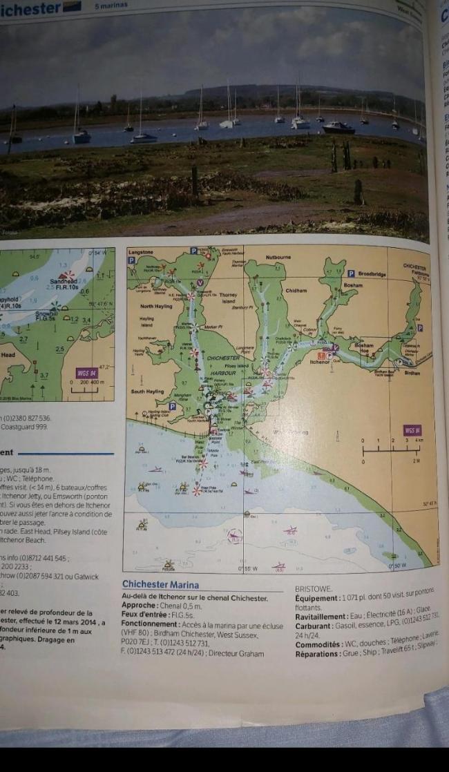
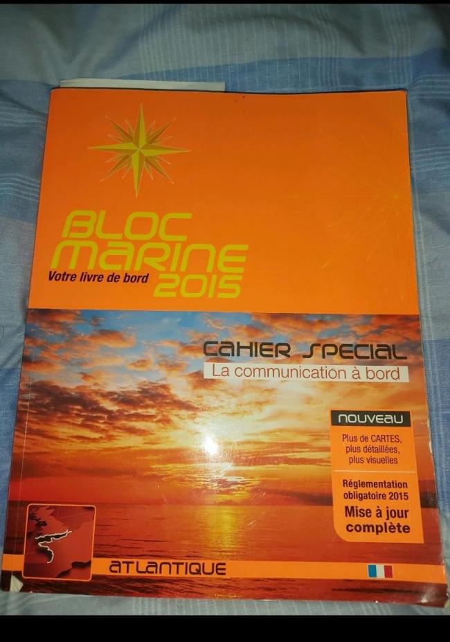
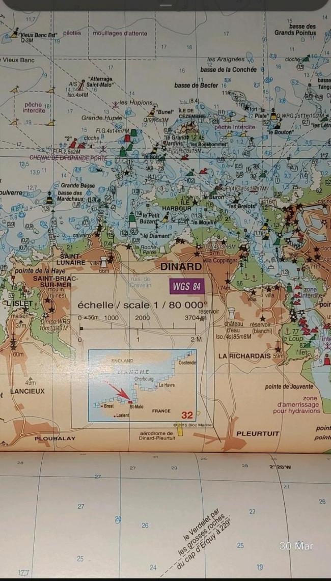
Bloc marine is the French version of reeds it is in French both produced be the same company .Every so often they produce an English version of bloc well worth getting ether the French or the French English version it covers the English south coast. However it has charts of the whole french coast and what's more they can be used for navigation
The book actually specifies they can be used for navigation many french coastal sailors only carry bloc as all the French coast north and west is included. they are easy to photo them georeference land put them into opencpn see my other thread .
I will show how over next week or so and post the program to do it. By the way it's easy .


Comments
Looks very interesting as a super low cost option, but can I also put in a good word for the visitmyharbour usb charts. These are full admiralty charts that can be downloaded and used with open cpn or qtvlm ( which was a new one for me). The cost is reasonable, and avoids the scanning you suggest.. Qtvlm is a great grib download and view with an interesting planner function that takes into account your sailing polar and the predicted wind (and tide I think). Im still getting the hang of it..
I will try to show the program and some examples if people are interested..
I am thinking of restarting the zoom meets as a once a month affair, midweek about 8pm .. But only when we stop sailing!! It might be a good time to show off the electronic charting options..
Cheers
Dagnall